Maps and globes are both essential tools in geography education, each offering unique advantages. While maps are widely used for their convenience and detail, globes provide a three-dimensional perspective that flat maps cannot. Understanding the differences between these tools and how they can be used together can greatly enhance the study of geography. Here’s how globes and maps differ and how they complement each other.
Differences Between Maps and Globes
1. Representation of the Earth
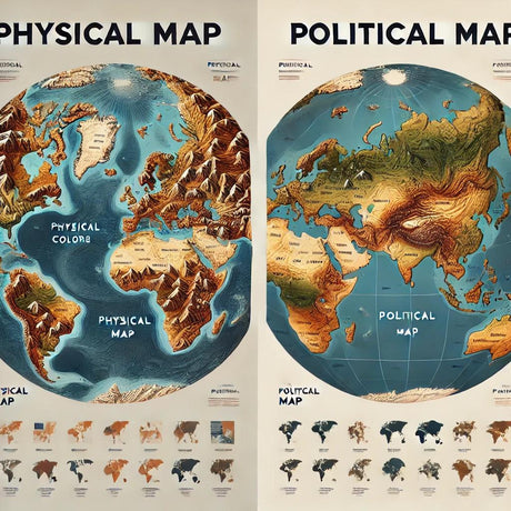
- Maps: Maps are two-dimensional representations of the Earth's surface. They are flat and can depict large areas in great detail, such as countries, continents, and oceans. However, maps can distort the size and shape of landmasses due to the challenge of representing a spherical surface on a flat plane.
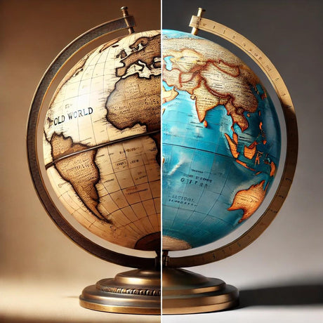
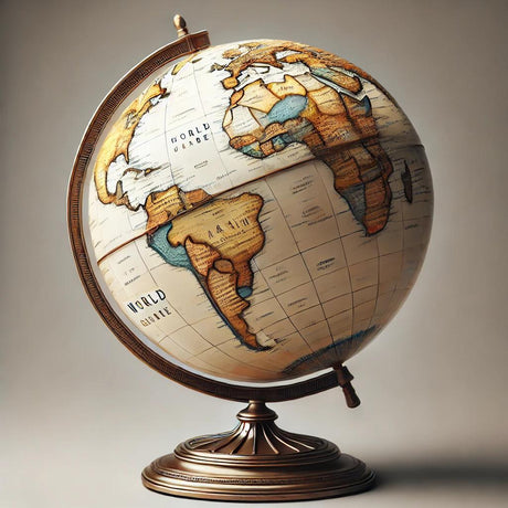
- Globes: Globes are three-dimensional models of the Earth. They accurately represent the shape, size, and spatial relationships of landmasses and bodies of water. Because globes are spherical, they do not distort geographical features, providing a more realistic view of the world.
2. Scale and Detail
- Maps: Maps can vary in scale, from world maps showing entire continents to detailed city maps. They are useful for studying specific areas and can include various types of information, such as political boundaries, topography, and transportation networks.
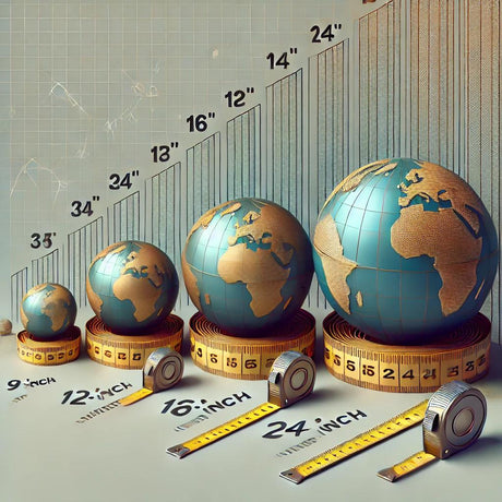
- Globes: Globes are limited in scale by their size. While they provide an accurate overview of the Earth, they cannot show the same level of detail as a flat map. However, globes excel in demonstrating global concepts, such as the curvature of the Earth and the distribution of continents and oceans.
3. Portability and Usage
- Maps: Maps are portable and easy to use. They can be folded, rolled, or stored in books, making them convenient for fieldwork, travel, and detailed study. Maps can also be customized for specific purposes, such as road maps or thematic maps.
- Globes: Globes are less portable due to their size and shape. They are typically used in classrooms, libraries, and offices as reference tools and educational aids. While not as convenient for detailed study, globes provide a comprehensive view of the Earth that enhances spatial understanding.
How Globes Complement the Use of Maps
1. Enhancing Spatial Awareness
Globes provide a three-dimensional perspective that helps students develop spatial awareness. By using a globe, students can better understand the relative positions and distances between different places on Earth. This spatial understanding enhances their ability to interpret flat maps and navigate the world.
2. Demonstrating Global Concepts
Globes are ideal for teaching global concepts such as the Earth's rotation, the tilt of its axis, and the distribution of climatic zones. These concepts are difficult to grasp on a flat map but become clearer when demonstrated on a globe. Globes also help visualize the curvature of the Earth and how it affects travel routes and time zones.
3. Reducing Distortion
One of the main limitations of flat maps is distortion. Globes eliminate this problem by accurately representing the Earth's surface. By comparing a globe with a map, students can see how projections distort the size and shape of landmasses, enhancing their understanding of map limitations and the importance of different map projections.
4. Complementary Use in Education
Using globes and maps together in education provides a well-rounded understanding of geography. Maps offer detailed information and are useful for specific studies, while globes provide a realistic overview of the world. Combining these tools allows students to gain a deeper and more accurate understanding of geographical concepts.
Conclusion
Maps and globes are both valuable tools in geography education, each offering unique benefits. While maps provide detailed and portable information, globes offer an accurate and three-dimensional view of the Earth. Using these tools together enhances spatial awareness, demonstrates global concepts, and provides a comprehensive understanding of geography. Incorporating both maps and globes into educational practices can make learning more effective and engaging.
For more information on high-quality globes and maps that can be used for educational purposes, visit Ultimate Globes.