Globes have been invaluable educational tools for centuries, providing a three-dimensional perspective of the Earth that flat maps cannot offer. Their use in studying geography is particularly significant, as they help students visualize and understand the spatial relationships between different regions of the world. Here's how globes can enhance the study of geography.
Visualizing Continents and Countries
One of the primary benefits of using a globe in geography education is the ability to see the true size and shape of continents and countries. Unlike flat maps, which can distort the relative sizes of landmasses, globes provide a more accurate representation of the Earth. This helps students understand the actual spatial relationships and distances between different parts of the world.
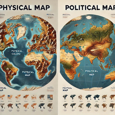
Understanding Geographical Features
Globes are excellent tools for studying various geographical features such as mountains, rivers, deserts, and oceans. By examining a globe, students can see the distribution of these features and how they influence human activity and natural processes. Raised relief globes, which show elevation changes, are particularly useful for understanding the topography of different regions.
Learning About Latitude and Longitude
Globes are also essential for teaching students about the concepts of latitude and longitude. These imaginary lines help in pinpointing locations on the Earth and are fundamental to navigation and geographic studies. By using a globe, students can learn how to locate places using coordinates and understand the significance of the equator, prime meridian, and other key lines of reference.
Exploring Climate Zones
The Earth's climate zones are best understood with the help of a globe. Students can see how the tilt of the Earth and its orbit around the sun create different climatic conditions in various parts of the world. This visualization helps explain why some regions experience tropical climates while others have polar conditions, and how these climatic zones affect ecosystems and human activities.
Enhancing Spatial Awareness
Using a globe in geography education improves students' spatial awareness. It helps them develop a better sense of direction and location, which is crucial for understanding global events, trade, migration, and environmental issues. Globes also encourage curiosity and exploration, making geography more engaging and interactive.
Conclusion
Globes are indispensable tools for studying geography, offering a three-dimensional view of the world that enhances understanding and retention of geographical concepts. They help students visualize continents, countries, geographical features, and climate zones, and provide a hands-on way to learn about latitude and longitude. Incorporating globes into geography education can make learning more effective and enjoyable.
For more information on high-quality globes that can be used for educational purposes, visit Ultimate Globes.