Spatial awareness is the ability to understand and interact with the environment around us, recognizing the relative positions of objects and their distances from each other. In geography, developing spatial awareness is crucial for comprehending the arrangement and relationship of various places on Earth. A world globe is an excellent tool for enhancing spatial awareness and understanding geography. Here’s how globes can be used to study and understand the Earth.
What is Spatial Awareness?
Spatial awareness refers to the cognitive skill that allows individuals to be conscious of their surroundings and the objects within them. It involves understanding the location, distance, and relationship between different places and objects. In the context of geography, spatial awareness helps students grasp the positioning of continents, countries, oceans, and other geographical features on the Earth’s surface.
How Globes Enhance Spatial Awareness
1. Visualizing the Earth's Layout
Globes provide a three-dimensional representation of the Earth, which helps students visualize the true layout of continents and oceans. Unlike flat maps, globes eliminate distortions, allowing for a more accurate understanding of the Earth’s geography. This visual aid enhances students’ ability to comprehend spatial relationships and relative distances.
2. Understanding Latitude and Longitude
Globes are essential for teaching the concepts of latitude and longitude. These imaginary lines divide the Earth into a grid system, helping to pinpoint exact locations. By using a globe, students can see how these lines intersect and understand how coordinates are used in navigation and mapping, thus improving their spatial reasoning skills.
3. Grasping Geographical Features
Globes help students identify and locate various geographical features such as mountains, rivers, deserts, and plains. Understanding the distribution and relationship of these features is a key aspect of spatial awareness. By exploring a globe, students can see how natural features are arranged and how they interact with human settlements and activities.
4. Simulating Real-World Navigation
Using a globe, teachers can simulate real-world navigation exercises. Students can plot courses, measure distances, and understand how the curvature of the Earth affects travel routes. These practical activities enhance spatial thinking and provide hands-on experience in navigating the world.
5. Enhancing Map Reading Skills
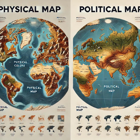
Globes complement flat maps by providing a three-dimensional perspective. When used together, they help students develop better map-reading skills. By comparing the globe with a map, students can understand the distortions caused by different map projections and improve their overall spatial understanding.
Conclusion
Spatial awareness is a vital skill in geography education, and world globes are powerful tools for developing this ability. By providing an accurate, three-dimensional representation of the Earth, globes help students visualize geographical relationships, understand coordinates, and grasp the layout of natural and human-made features. Incorporating globes into geography education makes learning more interactive, engaging, and effective.
For more information on high-quality globes that can be used for educational purposes, visit Ultimate Globes.


