-
Political Maps: Mapping Human Boundaries
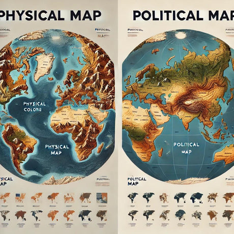
Political maps focus on man-made divisions and territories. They highlight countries, states, cities, and other political boundaries. These maps are designed to show how humans have organized the land into governed areas. Typically, you’ll see different colors representing countries or states, helping to differentiate one region from another. Capital cities and major towns are usually marked with clear symbols for easy identification.
Political maps are great for:
- Studying geopolitics and historical boundaries.
- Planning travel itineraries.
- Understanding electoral or administrative regions.
For example, if you’re curious about how many countries share borders with Germany or want to see how state boundaries divide the U.S., a political map is your best bet.
-
Physical Maps: Nature’s Blueprint
In contrast, physical maps focus on the Earth's natural features—mountains, rivers, valleys, plains, and more. These maps often use color gradients to represent elevation (darker greens for lower altitudes, browns for mountains) and water depths (shades of blue). Physical maps give you a bird’s-eye view of how the Earth is shaped, without the distractions of political boundaries.
Physical maps are excellent for:
- Exploring geographical features.
- Understanding terrain and elevation.
- Studying natural environments and ecosystems.
Want to see how the Andes Mountains stretch across South America or locate the Mississippi River? Physical maps provide the clearest view.
Why the Difference Matters
The difference between these maps might seem small at first, but it’s crucial depending on your purpose. Political maps tell the story of how humans have divided and organized the Earth, while physical maps reveal the planet’s natural beauty and structure.
At Ultimate Globes, we understand the importance of both map types, and many of our maps and globes include elements of each, giving you the best of both worlds. Our maps and globes are designed to be as informative as they are beautiful, making them perfect for students, professionals, or anyone with a love for geography.


