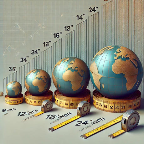
Globes are not just decorative items; they are powerful educational tools that can significantly enhance the learning experience. One of the key areas where globes prove to be invaluable is in developing navigation and mapping skills. By providing a three-dimensional representation of the Earth, globes help students grasp complex geographical concepts with ease. Here’s how globes can be used to develop navigation and mapping skills.
Understanding Latitude and Longitude
One of the fundamental aspects of navigation is understanding the system of latitude and longitude. Globes make it easier for students to visualize these imaginary lines that divide the Earth into coordinates. Latitude lines run parallel to the equator, while longitude lines run from the North Pole to the South Pole. By using a globe, students can learn how to locate places using these coordinates, which is essential for navigation and mapping.
Learning About Time Zones
Time zones are a critical component of global navigation. Globes often come with marked time zones, allowing students to see how the Earth’s rotation and its division into 24 time zones affect local times. This understanding is crucial for anyone involved in international travel, communication, or trade.
Developing Spatial Awareness
Using a globe helps in developing spatial awareness, which is the ability to understand and remember the relative locations of places in the world. This skill is particularly useful in navigation and is essential for comprehending maps. Globes provide a three-dimensional perspective that flat maps cannot offer, making it easier for students to understand the spatial relationships between different regions.
Simulating Navigation Exercises
Teachers can use globes to simulate real-world navigation exercises. For instance, students can plot a course from one continent to another, taking into account the curvature of the Earth. This hands-on approach makes learning more engaging and practical, helping students understand the complexities of global navigation.
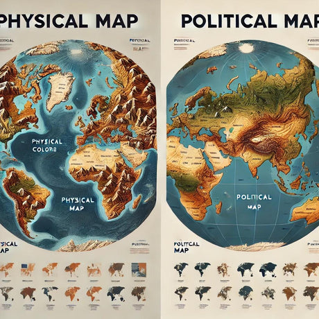
Enhancing Map Reading Skills
Reading and interpreting maps is a critical skill in geography. Globes complement flat maps by providing a realistic representation of the Earth. By comparing a globe with a map, students can better understand distortions caused by map projections and develop a more accurate mental model of the world.
Conclusion
Globes are essential tools for developing navigation and mapping skills. They help students understand latitude, longitude, time zones, and spatial relationships, making geography education more interactive and engaging. By incorporating globes into the classroom, teachers can provide students with a deeper understanding of the world and enhance their ability to navigate and map it accurately.
For more information on high-quality globes that can be used for educational purposes, visit Ultimate Globes.