Download Printable USA Map for Educational and Reference Use
Description
Description
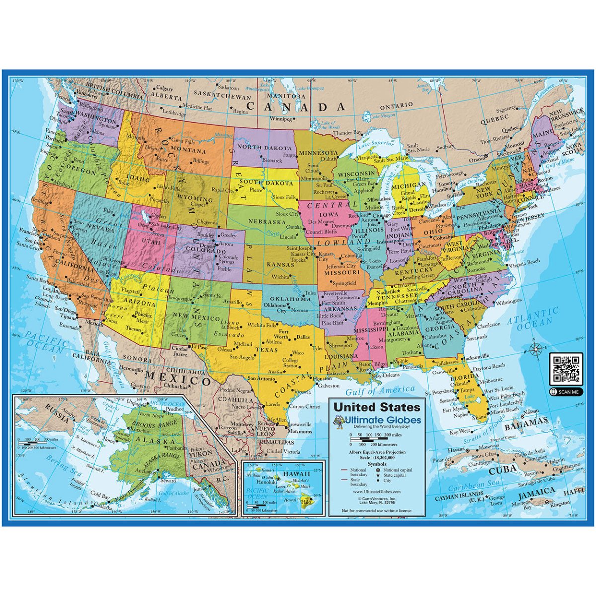
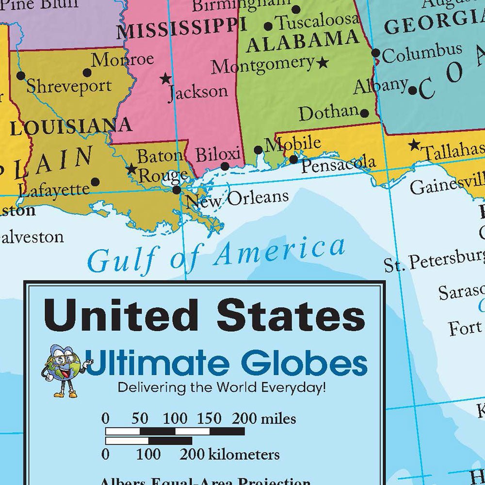
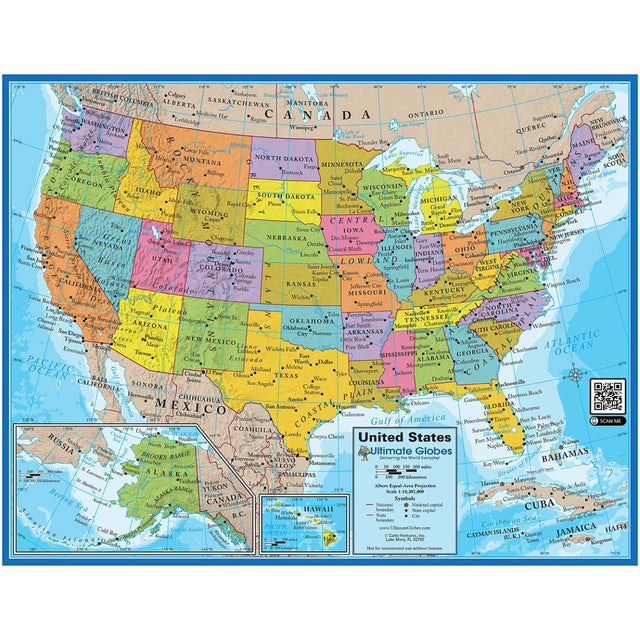
UPDATE: This product has been recently updated and now contains "Gulf of America"
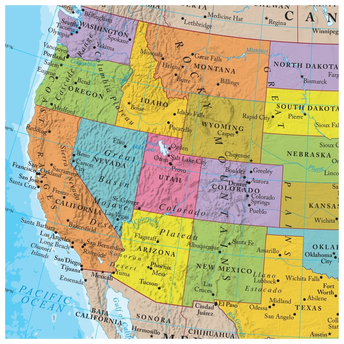
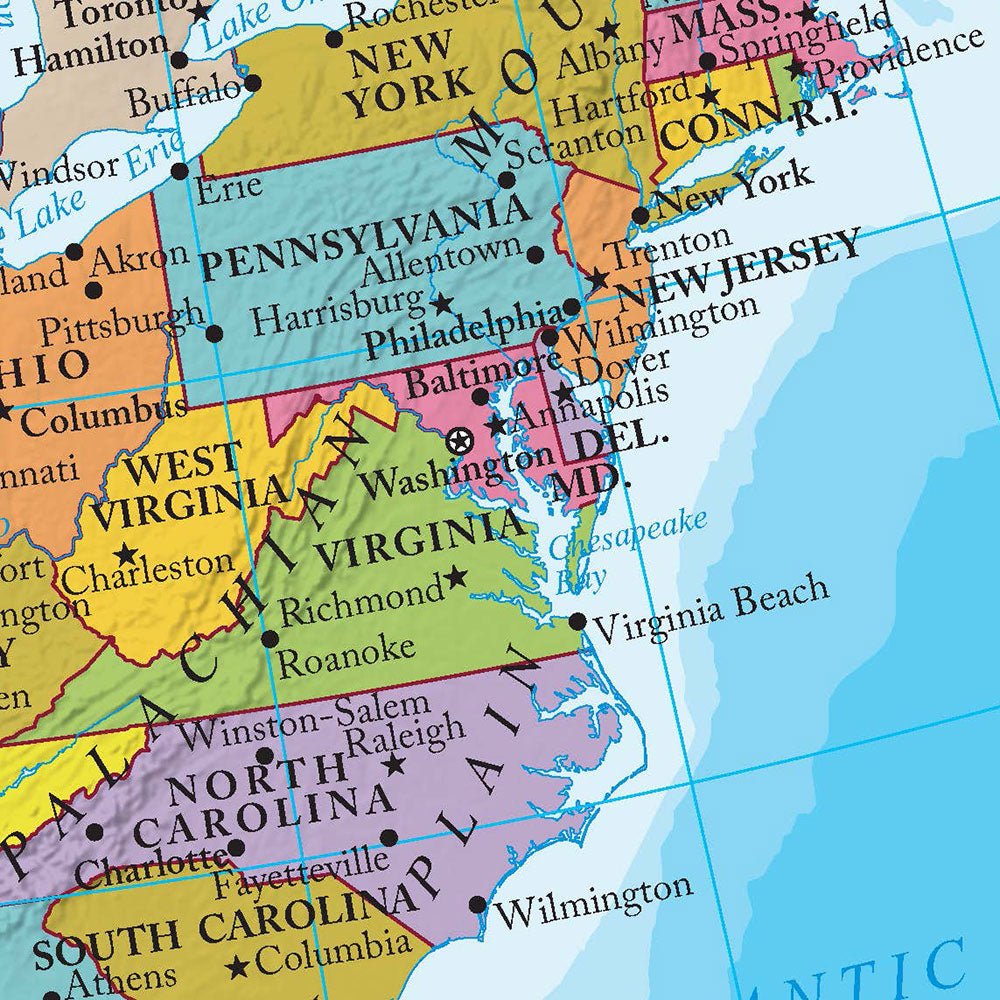
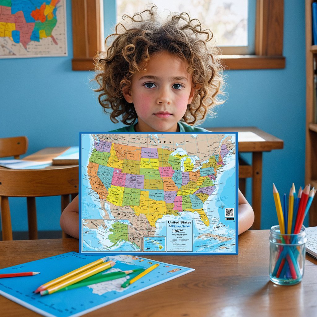
This high-quality digital USA map is designed for educational and reference purposes. Whether you are a teacher, homeschooler, or simply a geography enthusiast, this map is perfect for understanding the geographical landscape of the United States. The map is up-to-date with current borders, major cities, and physical features, making it ideal for classroom use, geography lessons, or personal reference. Optimized for printing on standard 8.5 x 11-inch paper, this downloadable map ensures clear and detailed visuals suitable for various educational applications.
Key Features:
- Detailed and Accurate: Contains up-to-date information, including major cities, state boundaries, and key physical features.
- Printable Format: Optimized for easy printing on standard 8.5 x 11-inch paper.
- Educational Use: Ideal for classrooms, homeschooling, or personal reference.
- Non-Commercial Use: Intended solely for personal and educational purposes.
Educational Solutions:
- Classroom Learning: Use this map in geography lessons to help students identify U.S. states, cities, and physical features.
- Homeschool Resource: A valuable tool for homeschooling families to teach U.S. geography interactively.
- Personal Reference: Keep a copy on hand for travel planning or as a general reference tool for U.S. geography.
Digital File Format: PDF
Copyright Notice and Commercial Use:
This map is copyrighted and intended for personal and educational use only. If you wish to use this map for commercial purposes or resale, licensing options are available. Please contact our customer support team for more information regarding commercial use licenses. By accessing this digital content, you accept the stated terms of use.

